The Shira Route

The Shira Route is another one of the rarely used trails that starts near Shira Ridge. It is very similar to the Lemosho route.

Lemosho is the improved version of Shira, which was the original route but they had to improve the route starting point and just named it Lemosho Route.

The main reason for the amendment was Shira’s starting point which is located on high altitudes of 3600 meters or 11811 ft.

Even though the starting point can be accessed by vehicle, the high altitudes are not ideal for climbers with no experience of high-altitude trekking. Your first day on Kilimanjaro beginning at a very high altitude can cause altitude sickness and that would be starting on the wrong foot, literally!

  • Location: The Shira route can be accessed possibly by vehicle from Moshi to Shira Ridge, from where the hike begins on the western side of the mountain.
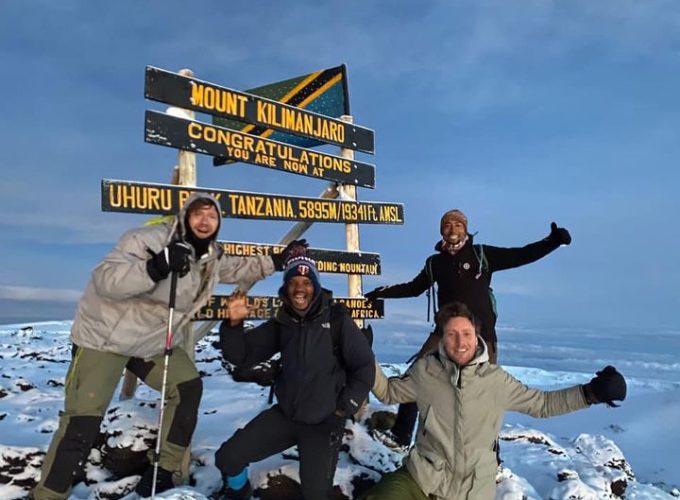
  • Height: The Shira route reaches the summit of Kilimanjaro at the Uhuru peak, reaching a height of 5,895 meters (19,341 feet).
  • Duration: The Shira route can take anywhere between 6-7 days. An extra day on the mountain will, of course, cost more, but this means your chances of success in reaching the summit will be much greater.

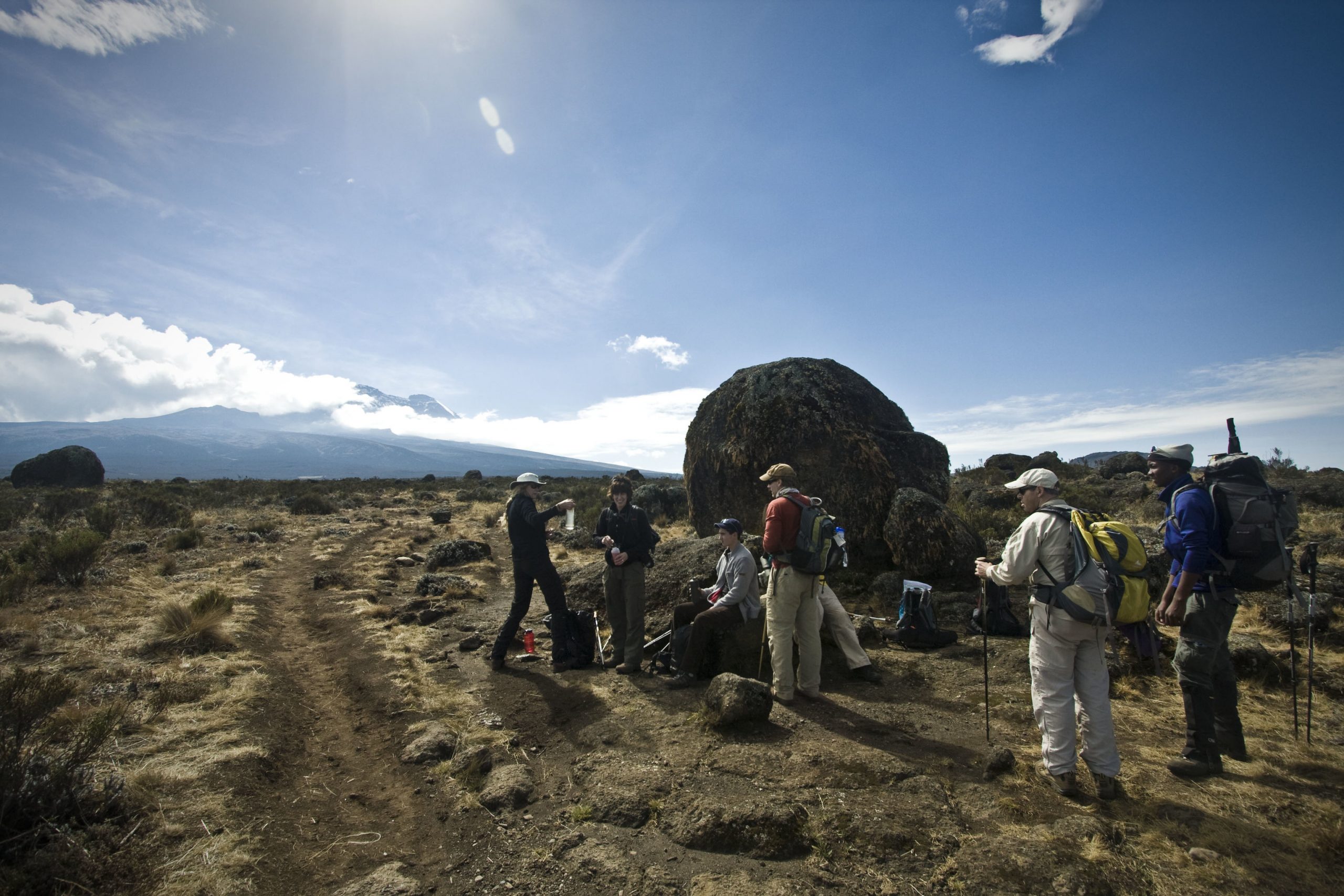
Trail conditions: The trail itself offers a diverse route with varied terrain and starts at a relatively high altitude. During your hike, you will cross through grassy moorlands and volcanic rocky sections.

Climbing Kilimanjaro via Shira Route

The Shira route journey towards the summit begins with a long drive from Moshi town as the vehicle goes through the rainforest vegetation zone of Kilimanjaro to Shira Ridge, approaching the mountain from the western side.

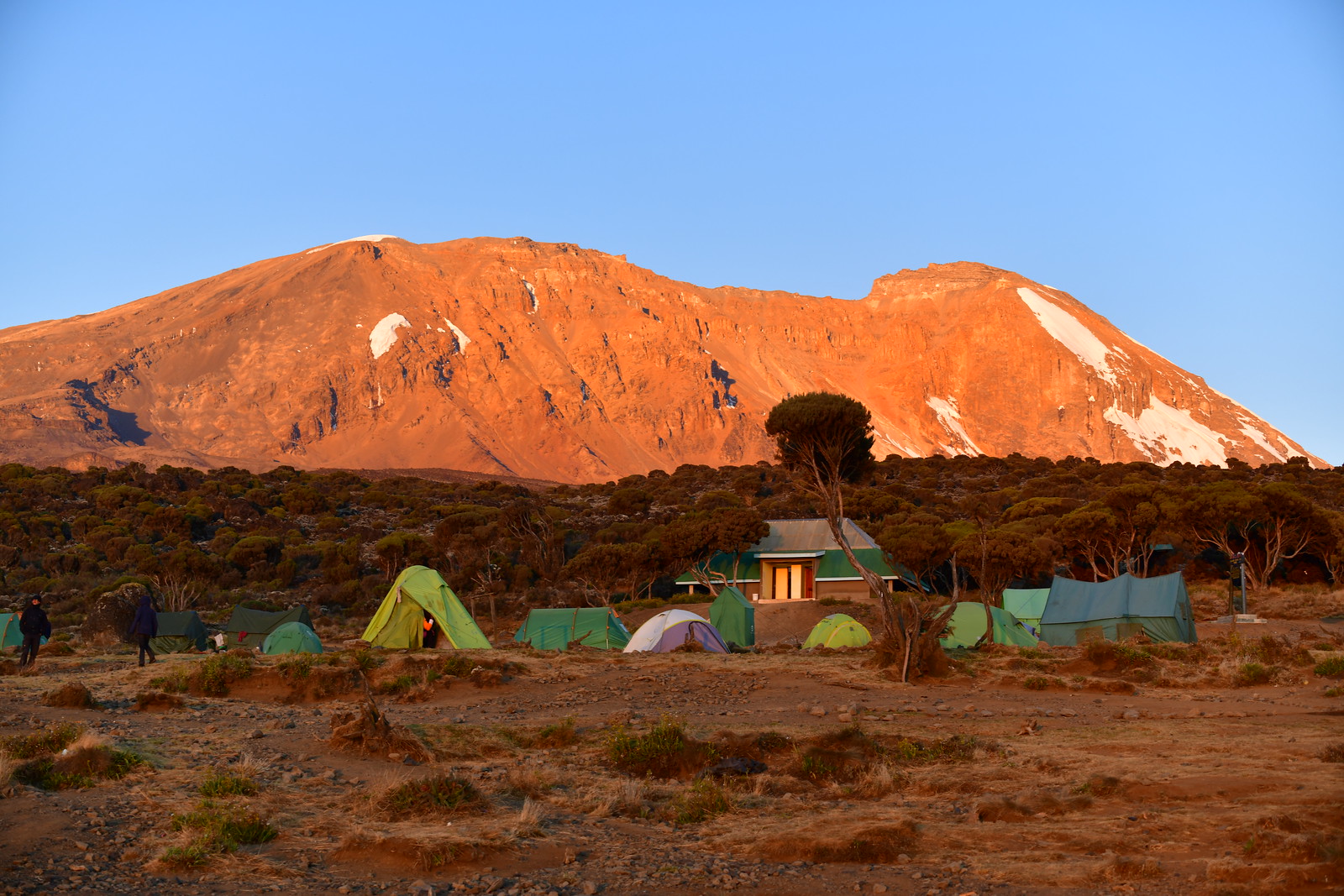
The main trek starts at Shira Ridge, a trail that cuts through the Shira Plateau from the western side of the mountain to the east on great terrain that is table-like. The route proceeds below the Southern Ice Field of Mount Kilimanjaro via the Southern Circuit trail afterward approaching the Uhuru peak summit from Barafu Camp.

Going down the mountain takes a different approach as the descent is made via the Mweka Route, a very popular direct route used by the majority of the routes.

The Shira Route can be completed in six, seven, and eight days, and at Climb Kilimanjaro Ltd we offer the Shira route as a 7-day itinerary but you can also request for the 6-day Shira Route Itinerary or the 8-day one.
Shira Route
Shira Route

Plan your climb on the Shira Route

How do I prepare for the Shira route?

Depending on your goal any physical training will come in handy. Train more if you want to reach the summit or you can just train normally if your target is to have a short hike to places like the Shira Plateau

Best time to climb the Shira route?

The Shira Route can be accessed every month of the year. Although some months may be wetter, you can use waterproof gear. The best months for climbing the Shira Route fall between January–March and June–October while the less favorable times are the wet months of  April, May, and November.

What should I pack and what equipment do I need?

Make sure you pack the required gear for climbing Mount Kilimanjaro. You can arrange for your Shira Route climbing gear with us. Click here to see the full Kilimanjaro gear list.

How to get to the Shira Route?

We will pick you up at the airport to your hotel before and after your Shira route climb. Climbers flying from the UK, the US, Australia Canada, and other parts of the world have many great sources of choosing their flights to Tanzania’s Kilimanjaro International Airport.

What are the climbing requirements for the Shira route?

Careful planning and training are very important. Consider adding an extra day or extra time to your itinerary to combat altitude sickness.

What permits do I need?

All the Shira Route itineraries provided by Tranquil Kilimanjaro are all-inclusive. The permits and entrance fees are for maintaining Mount Kilimanjaro National Park and the mountain itself.

Shira Route Map & Location

Map and Location

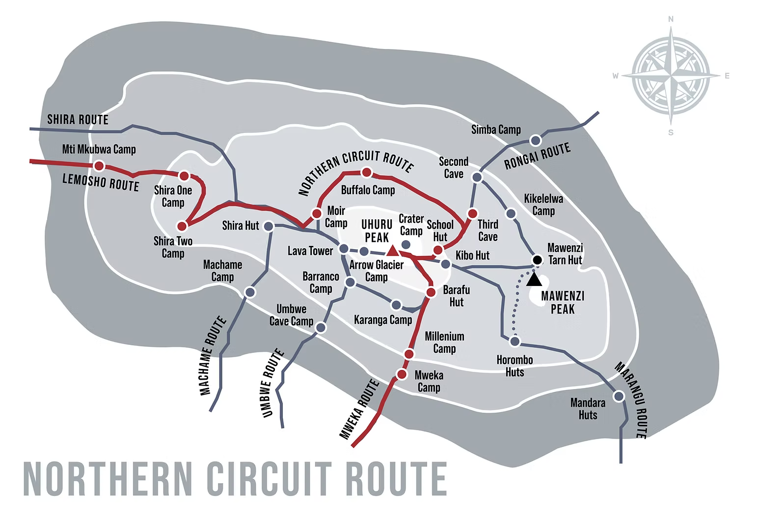
Mount Kilimanjaro’s Northern Circuit Route runs from the mountain’s western side. It makes its path around the northern slopes towards the northeastern slopes before descending to the southeastern side of Mount Kilimanjaro. The route covers a total distance of 96 kilometers long and takes about nine days.

Shira Route Trek Tips

  • Before choosing the Shira Route, please weigh all your options by going through each route. And allow an extra acclimatization day.
  • Training is very vital, you need your fitness levels to be at your ultimate best, and the fitter the better.
  • Since the Shira Route is an all-camping experience on the mountain, Sharpen up mentally by completing a few short camping trips to familiarize yourself with your surroundings.
  • Make sure you have high-quality and well-fitting boots to avoid painful blisters on the mountain.
  • Drink as much water as possible as one of the ways to reduce altitude sickness is by staying hydrated.
  • Take it easy, it is not a race, and also pay attention to what your body is telling you.
  • Slow down and enjoy the incredible views that Mount Kilimanjaro brings along on your way up.

Northern Circuit Route Map

Shira Route Packages

×

Hello!

Chat on WhatsApp with our  team below or send us an email to

info@climbkilimanjarotrip.com

×